I have a column which has all the US State Codes there couple of States which is directing to Wrong State
in the map visual
States are
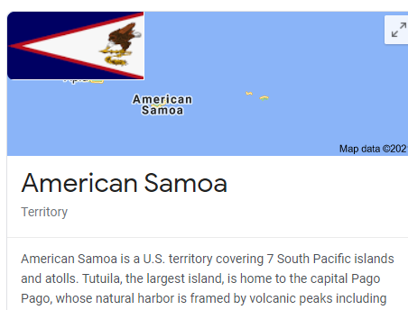
AS which is American Samoa (U.S.)
**PR which Puerto Rico (U.S.) **
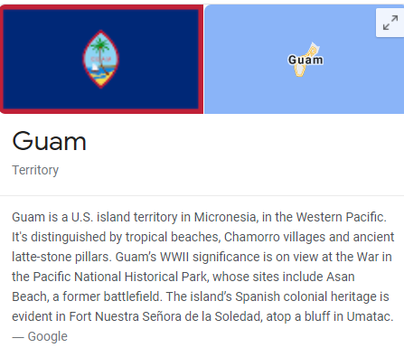
GU which is Guam
1 Like
Thank you Jarret, How can I put those into my visual using State Codes to show as US Territory .

Probably not going to be able to add with a “State” code, since none of them are States. They are all territories, so really have nothing do with the United States. If you need to associate data with either of them, they probably shouldn’t be associated with the U.S.

Please provide a PBIX file so we can further investigate, but not going to be able to use State code like you mentioned.
Thanks
Jarrett
3 Likes
AFR Report(04-01-2021).pbix (6.9 MB)
PFA
1 Like
Thanks for the file, but there is not a way to associate any of those with a “State Code”.
Thanks
Jarrett
If not with State Code then tell me the other way
In times like these, GOOGLE is your best friend. I did a quick search and here is the best solution that you can try to implement. Make sure you scroll down through the comments, as Greg Deckler provides some helpful tips.
Thanks
Jarrett
2 Likes
Hi @mohammedkhan11, did the response provided by the users and experts help you solve your query? If not, how far did you get and what kind of help you need further? If yes, kindly mark as solution the answer that solved your query. Thanks!
I figured it out myself and googling didn’t helped much in this case
Solution is that I had the Zip Code and I did through Zip Code